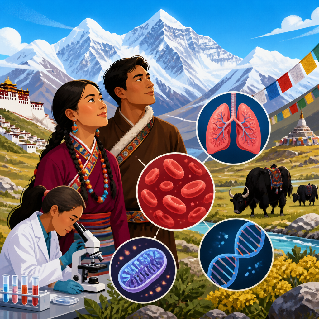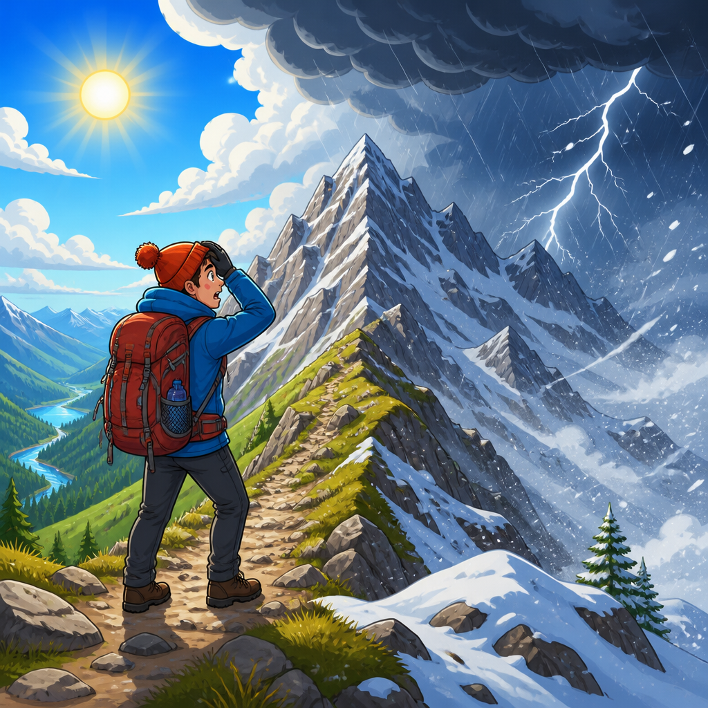
Mountain weather changes feel faster and harsher because altitude compresses atmospheric processes into shorter distances, terrain redirects wind and moisture with little warning, and human bodies operate closer to their physiological limits in thin, cold air. In high-altitude regions, a clear morning can turn into sleet, graupel, lightning, or blinding fog within an hour, not because mountains are chaotic in a mystical sense, but because they amplify ordinary weather mechanics. This matters to climbers, herders, guides, road crews, researchers, and families in alpine towns alike. Across the broader world of science and culture in high-altitude communities, weather is not background scenery; it shapes architecture, labor rhythms, belief systems, transport, food storage, hazard planning, and local knowledge passed between generations.
To understand why mountain environments feel so unforgiving, it helps to define several key terms. Altitude refers to elevation above sea level. Relief describes the difference in height between valleys and peaks in a given area. Orographic lifting occurs when air is forced upslope, cools, and condenses into cloud or precipitation. Microclimate means a localized climate that differs from surrounding areas because of slope angle, vegetation, snow cover, rock, or built surfaces. Wind chill is the accelerated heat loss caused by moving air, while hypoxia is reduced oxygen availability at altitude. Together, these factors explain why the same temperature or storm forecast can produce more serious effects in mountains than on lowland plains.
I have worked in and reported from mountain districts where valley residents watch clouds on one ridge, listen for thunder bouncing from another, and make farm, travel, and school decisions before noon because afternoons become unstable so reliably. That lived pattern is backed by atmospheric science. Mountains interrupt airflow, generate vertical motion, and create sharp contrasts in sun exposure, humidity, and temperature over very short distances. They also magnify consequences. A ten-degree temperature drop at sea level may be inconvenient. The same drop at 3,500 meters, with strong wind, wet clothing, and a long descent, can become a medical emergency.
This hub article connects the science of fast-changing mountain weather with the cultural adaptations that help high-altitude communities live with it. It explains the physical mechanisms, the body’s response, the forecasting challenges, the hazards that follow, and the practical knowledge communities use every day. It also frames the larger Science & Culture conversation for this topic cluster: how climate, terrain, tradition, infrastructure, and identity interact in places where the atmosphere is literally closer and less forgiving.
The physics that make mountain weather change so quickly
The atmosphere generally cools with height, and that simple fact drives much of the mountain experience. In the troposphere, average environmental lapse rates are often described near 6.5 degrees Celsius per kilometer, although real conditions vary. Because mountains rise through large vertical gradients, moving a short horizontal distance can produce a major weather shift. A hiker who climbs 800 meters in a morning may enter air that is several degrees colder before accounting for cloud, wind, or precipitation. Add moisture and instability, and those thermal differences help trigger rapid cloud growth and showers.
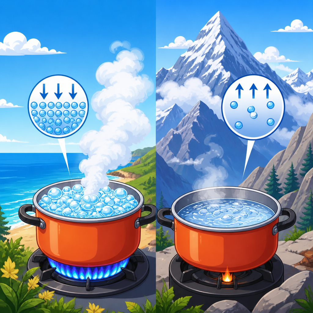
Orographic lifting is the central process. When moist air encounters a mountain barrier, it must rise. Rising air expands in lower pressure, cools, and eventually reaches saturation. Cloud forms, precipitation develops, and the windward slope turns raw and wet while a nearby leeward valley may remain drier. In many ranges, this uplift can convert an ordinary regional flow into intense local weather. The Alps, Andes, Himalaya, Rockies, Ethiopian Highlands, and Southern Alps of New Zealand all show strong windward-leeward contrasts. The result is not random volatility but terrain-enhanced efficiency: mountains force the atmosphere to do in minutes what flatter landscapes may spread across far longer distances.
Daily heating also matters. Slopes warm unevenly according to aspect, snow cover, rock type, and vegetation. Sunlit slopes produce upslope valley breezes by late morning; cooling after sunset reverses the circulation into downslope drainage winds. These mountain-valley wind systems can feed cloud growth and afternoon thunderstorms, especially during warm seasons. Anyone who has guided or worked in alpine terrain learns the routine quickly: start early, watch cumulus towers after midday, and respect thunder even when the day began blue and calm.
Why conditions feel harsher than the forecast suggests
Mountain weather often feels worse than forecast numbers imply because exposure changes faster than the forecast scale. A regional forecast may predict 4 degrees Celsius, 35 kilometer-per-hour wind, and scattered showers. On a ridge, channeling and acceleration can push gusts much higher. In a shaded gully, old snow and evaporative cooling can drop the felt temperature sharply. In fog, visibility may collapse from kilometers to a few meters. The same forecast becomes multiple realities depending on topography.
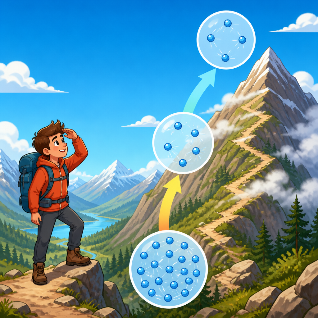
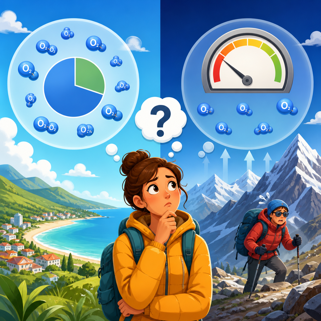
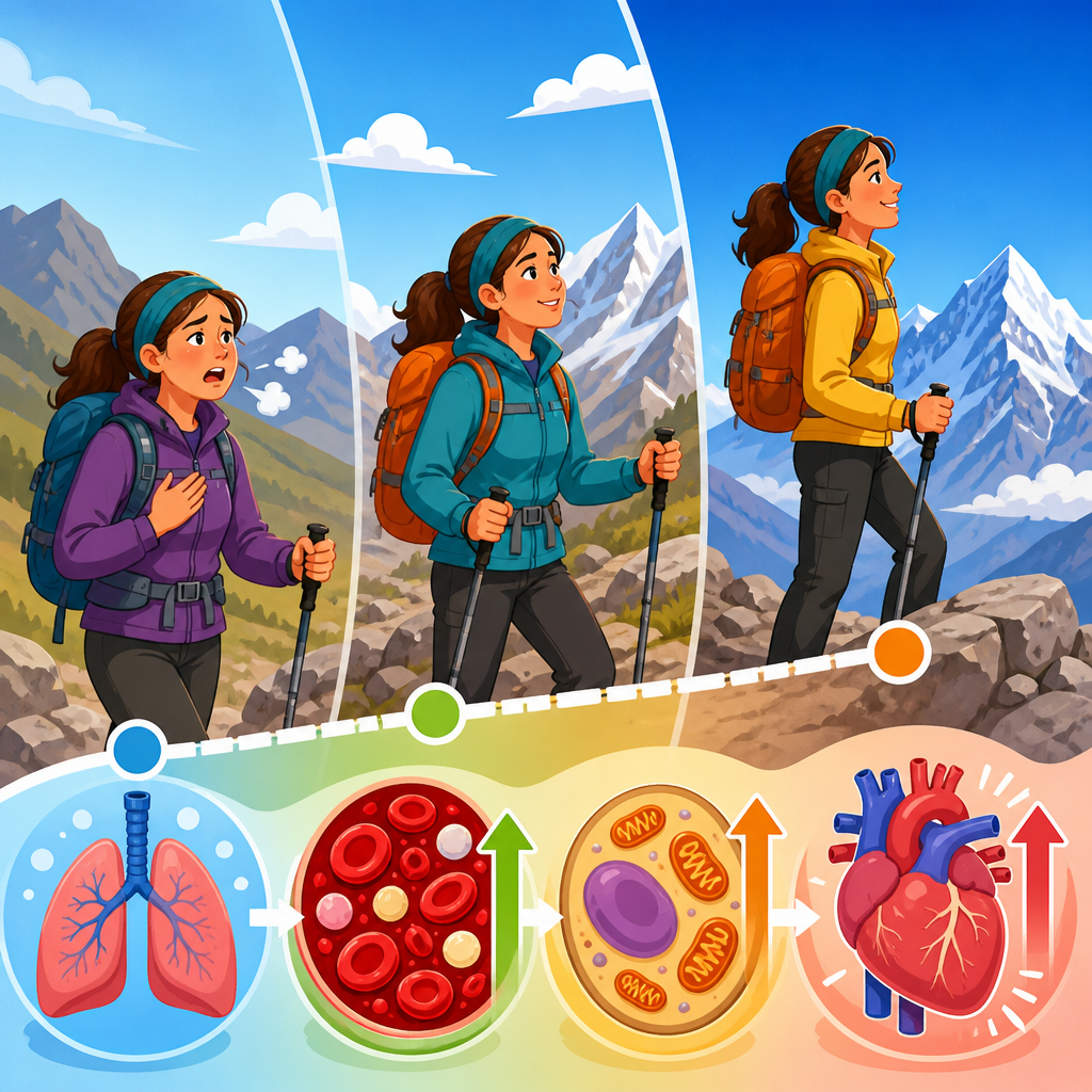
Human physiology explains the harsher sensation. At altitude, air pressure is lower, so each breath delivers less oxygen. Hypoxia increases breathing rate and cardiovascular strain, while cold drives vasoconstriction and dexterity loss. Wind then strips away the insulating boundary layer around clothing and skin. If precipitation wets outer layers, conductive and evaporative heat loss rise further. This is why people become chilled so quickly after a convective shower on an exposed pass. The atmosphere does not need to be arctic to be dangerous; it only needs to combine cold, wind, moisture, and altitude at the wrong moment.
Solar radiation adds another mountain-specific contrast. At elevation, thinner atmosphere and reflective snow increase ultraviolet exposure. People can feel hot in direct sun and dangerously cold minutes later when cloud covers the slope or wind increases. That fast oscillation between intense radiation and rapid heat loss is one reason mountain weather feels severe even during seasons that seem mild in town.
| Mountain factor | What changes physically | Why it feels harsher |
|---|---|---|
| Higher altitude | Lower air pressure and colder average temperatures | Breathing is harder, fatigue comes sooner, hypothermia risk rises |
| Steep terrain | Air is forced upward, creating cloud and precipitation fast | Storms build quickly and local conditions vary drastically |
| Wind acceleration | Flow speeds up over ridges and through gaps | Wind chill increases and balance, travel, and shelter become harder |
| Snow and ice cover | High reflectivity and local cooling persist | Sunburn and chilling can occur on the same outing |
| Terrain shading | Sun exposure changes minute by minute | Temperature swings feel abrupt, especially near freezing |
Forecasting challenges, microclimates, and surprise storms
Weather models have improved dramatically, but mountains remain one of the hardest environments to forecast precisely. Grid spacing in operational models may still smooth out ridges, cirques, saddles, and narrow valleys that control local conditions. Even high-resolution models such as the HRRR in the United States or specialized alpine forecast systems in Europe cannot perfectly capture every thunderstorm initiation point, rotor, or fog bank. Elevation errors in model terrain can translate into real forecast errors in temperature, precipitation type, and wind speed.
Microclimates are the practical result. North-facing slopes in the Northern Hemisphere hold snow longer, remain cooler, and support different vegetation than south-facing slopes only a short walk away. Cold-air pooling can produce frost in valley bottoms while a nearby bench remains above freezing. Inversions trap smoke and pollution below while higher slopes sit in clean sun. During monsoon-influenced periods in the Himalaya or summer convective cycles in the Rockies, one valley can receive hail while the next stays dry. People unfamiliar with this fine-scale variability often mistake it for forecast failure when it is really a consequence of terrain complexity.
Lightning is a prime example of mountain surprise. Elevated terrain sits closer to the charge structure of thunderstorms, and ridgelines increase exposure. Storms also tend to develop on heated slopes during afternoons, which is why mountaineering plans emphasize summit attempts at dawn. Search and rescue reports repeatedly show parties caught high after underestimating how quickly benign cumulus can mature into electrical storms.
Hazards that turn weather shifts into emergencies
Fast-changing mountain weather matters because it can trigger compound hazards. Snowfall is the obvious one, but rain-on-snow events, freezing rain, whiteout, avalanche instability, rockfall, debris flows, glacial outburst flooding, and sudden stream rise all connect to weather transitions. A brief warming pulse can destabilize wet snow. A thunderstorm after a freeze-thaw cycle can loosen rock from fractured alpine faces. Intense convective rain on steep, sparsely vegetated slopes can transform gullies into debris channels within minutes.
Avalanche forecasting demonstrates how sensitive mountains are to subtle atmospheric inputs. A few degrees of warming, a shift in wind loading, or a thin layer of surface hoar preserved under new snow can radically change slope stability. Forecast centers such as those following methods from the European Avalanche Warning Services or the North American Public Avalanche Danger Scale analyze snowpack structure, recent loading, wind transport, and temperature trends because mountain danger is rarely about one variable alone.
Road access and infrastructure are equally vulnerable. Freeze-thaw cycles crack pavement, ice lines burden power networks, and heavy wet snow can isolate villages. In many high-altitude communities, weather is therefore an engineering problem as much as a meteorological one. Building codes, roof pitch, drainage channels, retaining walls, and backup fuel storage all reflect generations of adaptation to abrupt weather stress.
How high-altitude communities adapt through science and culture
Mountain communities survive by blending formal science with practiced observation. Instrument data from automatic weather stations, river gauges, avalanche bulletins, and satellite imagery matter enormously, but so do signs that local people read fluently: lenticular clouds over a pass, morning humidity on stone walls, snowline position, animal behavior, and the timing of valley breezes. This is not folklore opposed to science. In the best mountain regions, it is a layered knowledge system where local pattern recognition complements modern forecasting.
Cultural adaptation appears in settlement design and daily routine. Houses in cold alpine zones often use compact forms, steep roofs, deep eaves, thermal mass, and storage for food and fuel because resupply can fail during storms. Work schedules are timed around weather windows; farmers irrigate, cut hay, or move livestock according to storm cycles; schools and markets may open early to avoid afternoon hazards. In the Andes and Himalaya, vertical livelihoods have long spread risk across elevations, with crops, grazing, and seasonal movement distributed to match microclimates rather than fight them.
Clothing systems are another learned adaptation. Layering, shell fabrics, vapor management, and spare dry insulation are standard mountain practice because conditions shift too fast for single-garment solutions. Good decisions are cultural as well as technical: turn-around times, group pacing, conservative route choice, and respect for local warnings save more lives than expensive gear alone.
For readers exploring the wider Science & Culture landscape of high-altitude communities, this weather topic connects directly to health, architecture, mobility, food systems, ritual calendars, tourism, and climate change. It is the hub because weather mediates nearly every other mountain reality. If you want to understand why communities build a certain way, travel at a certain hour, celebrate a seasonal threshold, or fear one slope more than another, start with the atmosphere interacting with terrain.
What climate change is altering in mountain weather
Climate change does not eliminate mountain volatility; it intensifies many of its consequences. Warmer air holds more moisture, shifting precipitation intensity. More winter storms now fall as rain instead of snow at marginal elevations, increasing runoff and reducing snowpack reliability. Glaciers retreat, exposing unstable sediment and steep rock once supported by ice. Permafrost thaw weakens high faces, contributing to rockfall and slope failure. Earlier snowmelt lengthens some travel seasons while increasing late-summer water stress and wildfire risk.
Communities are already adjusting. Resorts invest in diversified tourism and snowmaking where feasible, though water and energy constraints limit that option. Road managers update drainage for heavier bursts of rain. Mountain health systems prepare for compound events such as heat at altitude, smoke during inversions, and flood damage after cloudbursts. The lesson is clear: faster and harsher mountain weather is no longer only a mountaineering concern. It is a community planning issue.
Mountain weather feels faster and harsher because the landscape accelerates atmospheric change and narrows human margins for error. Altitude cools the air and reduces oxygen, terrain forces uplift and redirects wind, microclimates create sharp local contrasts, and exposure turns modest forecast shifts into serious stress. These same forces shape the culture of high-altitude communities, from building design and work rhythms to risk awareness and shared local knowledge.
As the central Science & Culture hub for high-altitude communities, this topic offers the most useful starting point because weather connects the physical environment to everyday life. Understand orographic lifting, valley winds, microclimates, hypoxia, and compound hazards, and many other mountain questions become easier to answer. If you are planning further reading in this subtopic, begin with weather, then follow the links into health, infrastructure, livelihoods, and tradition to see how mountain societies turn atmospheric uncertainty into practical resilience.
Frequently Asked Questions
Why does mountain weather seem to change so much faster than weather at lower elevations?
Mountain weather often feels faster because elevation and terrain compress normal atmospheric processes into a much smaller space. On flat land, changes in temperature, wind, moisture, and cloud formation may unfold over many miles. In the mountains, those same changes can happen over a single ridge, a narrow valley, or a few hundred feet of elevation gain. As air is forced uphill, it cools quickly, moisture condenses faster, and clouds can build in a short period of time. That is why a calm, sunny morning can transition to fog, sleet, graupel, or thunderstorms surprisingly quickly.
Terrain also makes the atmosphere less uniform. Slopes facing the sun warm faster, shaded areas stay colder, and valleys can trap dense air while ridgelines are exposed to stronger winds. This creates sharp local contrasts that accelerate weather shifts. The result is not that mountains create random weather, but that they intensify ordinary weather mechanics and make them more noticeable to anyone traveling through them.
How do mountains make conditions feel harsher even when the forecast does not sound extreme?
Conditions in the mountains often feel harsher because the human body is dealing with several stressors at once. Higher elevations usually mean colder air, stronger winds, lower humidity, more intense sun exposure, and reduced oxygen. Even a modest drop in temperature can feel severe when combined with wind on an exposed ridge. A passing shower that might be inconvenient at lower elevations can become dangerous in the mountains if wet clothing, wind chill, and falling temperatures arrive together.
The forecast may also describe regional conditions that do not fully capture what happens on a particular slope or pass. For example, a forecast of scattered showers can translate into brief but intense bursts of precipitation, sudden whiteout fog, or lightning near peaks during the afternoon. Because people at altitude are often closer to their physiological limits, they may tire faster, lose heat faster, and make slower decisions. That combination makes mountain weather feel harsher than the same forecast wording might suggest elsewhere.
What role do wind, moisture, and terrain play in sudden mountain weather changes?
Wind, moisture, and terrain are central to the speed and intensity of mountain weather. When moving air encounters a mountain barrier, it is forced upward. Rising air cools, and cooler air holds less moisture, so clouds and precipitation can develop rapidly. If the air mass is unstable, that lifting can help trigger showers, graupel, or thunderstorms much faster than many people expect. On the downwind side, descending air can dry out and warm, creating dramatic contrasts over short distances.
Terrain also redirects airflow in ways that are difficult to notice until conditions change. Valleys can funnel wind, passes can accelerate it, and ridgelines can turn a moderate breeze into powerful gusts. Moisture may pool in one basin as fog while the next ridge remains clear. Because mountains break the atmosphere into many small zones, a forecast for a broad area may miss important local effects. That is why experienced mountain travelers pay close attention not just to the forecast, but to cloud growth, wind direction, temperature shifts, and what the terrain is likely to do to the air around them.
Why are storms, fog, and precipitation often more dangerous in mountain environments?
These conditions are more dangerous in the mountains because visibility, footing, temperature, and escape options can all deteriorate at the same time. Fog can erase landmarks and make route-finding difficult within minutes, especially above treeline or on rocky terrain where trails are faint. Rain or sleet can turn stable surfaces slippery, while graupel can act like ball bearings on steep slopes. If temperatures are near freezing, wet clothing and wind exposure can push someone toward hypothermia much faster than they might expect.
Thunderstorms are especially serious because high points, exposed ridges, and isolated trees increase lightning risk. In the mountains, people often have fewer safe shelters nearby and may need significant time to descend. Snow or mixed precipitation can arrive even outside deep winter at high elevations, adding a cold-stress hazard to an already complex situation. In short, mountain weather becomes dangerous not only because of the weather itself, but because the terrain reduces reaction time and limits easy escape.
How can hikers, climbers, and travelers prepare for fast and harsh weather in the mountains?
Preparation starts with treating mountain forecasts as a baseline rather than a guarantee. Check multiple sources, pay attention to elevation-specific forecasts, and note the timing of wind increases, convective buildup, freezing levels, and thunderstorm potential. Start early when possible, since many mountain regions see more unstable weather in the afternoon. Build turnaround times into the plan and be willing to change objectives if clouds are building faster than expected or winds are strengthening.
Clothing and equipment matter just as much as route planning. Carry layers that handle cold, wind, and precipitation even if the day begins warm and sunny. A waterproof shell, insulating layer, hat, gloves, navigation tools, headlamp, food, and extra water are basic safeguards, not overcautious extras. It also helps to understand terrain exposure: a valley, a forested slope, and an open ridge can produce very different risks under the same sky. Most importantly, learn to recognize early warning signs such as growing cumulus clouds, sudden temperature drops, shifting winds, lenticular clouds, or fog forming in adjacent basins. In the mountains, small atmospheric clues often appear before major weather changes, and responding early is one of the best ways to stay safe.